


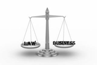


Surveyor
Make exact measurements and determine property boundaries. Provide data relevant to the shape, contour, gravitation, location, elevation, or dimension of land or land features on or near the earth's surface for engineering, mapmaking, mining, land evaluation, construction, and other purposes.
Add to Favourites Compare with other careersSurveyor
You can do one of these courses to prepare for this Career
-
 Private sponsorship scheme applications for undergraduate are open
Know more
Watch and Listen what the practioneers in your field are saying

Careers that are in the same career field as Surveyor
Online Training in Architecture and Construction
-

A course to help property buyers, Vendors and Estate Agents understand the Survey process and Surveyor's role
View Course -

how to use topcon Gps for collecting points (N,E,Z)
View Course -

A course created by a Fellow of the Royal Institution of Chartered Surveyors and practising Chartered Surveyor.
View Course -

An Overview of "The Party Wall etc. Act 1996" for Non Party Wall Surveyors for Property Manager and Lawyers
View Course -

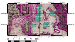
Master image acquisition, flight planning and learn all about GCPs from a professional surveyor! Drone Mapping Tutorial
View Course -
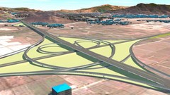
This course is for Highway Engineers, Road Designers, Land Surveyors, CAD Technicians, and Infrastructure Professionals
View Course -
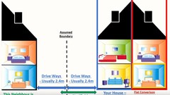
An Everyday Guide for Property Owners to The Party Wall etc. 1996.
View Course -

The Top Course for Professionals and Students Who Want a Great Paying Career in The Solar Energy Field
View Course -

IBM Qradar SIEM Architecture, Modules, Licensing and Processes for GDPR visibility around data and events
View Course -

Enhance your BIM practice to another level
View Course -

Learn to segment your audience, know what they need, and deliver the right message every time - at the perfect moment.
View Course -
Aprende a sacar partido a las nubes de puntos
View Course